
Facts and stats about Kazakhstan
- Agriculture 153
- Background 9
- Conflict 6
- Cost of living 53
- Crime 95
- Culture 17
- Economy 3071
- Education 565
- Energy 1039
- Environment 209
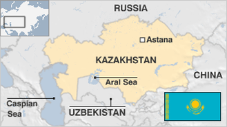
- Geography 85
- Government 201
- Health 326
- Import 7
17.74 million
Population. Ranked 61st in 2013.
$11,935.43
GDP per capita. Ranked 52nd in 2012.
2.7 million sq km
Sq. km. Ranked 10th in 2008.