
Facts and stats about Mauritania
- Agriculture 102
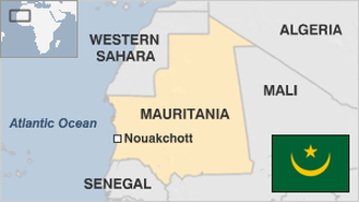
- Background 6
- Conflict 2
- Crime 20
- Culture 15
- Economy 1809
- Education 533
- Energy 358
- Environment 158
- Geography 88
- Government 185
- Health 292
- Import 4
- Industry 50
3.44 million
Population. Ranked 133th in 2013.
$1,106.14
GDP per capita. Ranked 144th in 2012.
1.03 million sq km
Sq. km. Ranked 27th in 2008.